Update 4.3.1 (232)
Boxing Day came ealier for DL users.
Great stuff guys, checkout the build. I think i saw a video post on YouTube from Barry Houldsworth as well. Cool intro, that one! Guys should check it out. Build 4.3.1 brings below figure of features. I was hoping for this a long time, but perhaps even better implemented for having flight log. Now we’ve got map markers for mission camera files, and this starts a journey, i think, to do away with having to keep my Airdata. 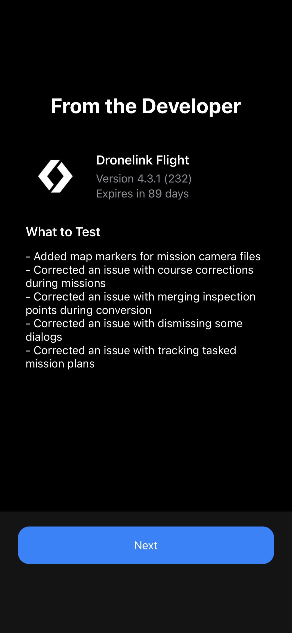
My next wish is to have overlaid as layers telemetry data, and perhaps smaller quality and sized thumbnails of the video/photos.
Still looking forward to getting to fly a path manually and have DL record the path, and then i can optimize the path afterwards as a plan that i can reuse as a component or extend it as needed. I’m dreaming of this.
Comments
12 comments
The photos are still on the SD card, DL only has the metadata. Are you wanting to upload your photos to the DL servers?
I may be wrong but my assumption is that he would like to be able to hover over a dot and, instead of seeing just the file name, would see a thumbnail of the image. But...that's just a guess.
Thanks for the mention Emmanuel Otchere
I think one thing not mentioned there, but is super important to a few people, is that 4.3.1 is the first official version that supports the Mavic 3 Enterprise.
This is a big deal - apparently the way that DJI put out this SDK is causing real problems for other systems and it's only due to the fact that DL has been designed properly under the covers that they have been able to deliver that so quickly while others seem to be stuck.
BTW - not sure if you know but I don't work for DL, I just like to give back to the community.
How would we show a thumbnail if the files weren't uploaded?
Hi Jim McAndrew, on
My interpretation of how Airdata would be doing it is sort of leveraging the DJI Fly App’s ability to capture the low quality stream to buffer, and overlaying that information on the Airdata map.
So, yes, I will think some form of streaming of the video feed or camera’s photos/videos back to DL servers, but not the SD card quality of course.
I suspect DJI is add flight logging and reporting… to the app. They’re offering a sneak peak in a few days. Hopefully we can have something even better in the future on DL.
Emmanuel Otchere
DJI already has flight logging and reporting, you can see it in their app by clicking on the little drone icon (triangle thing) on the home page of their app.
That shows all sorts of things about where you were flying, how far, etc. I believe they are just going to give a nice little year end summary using that data, which is uploaded to their servers.
They have put out reports previous years also but I don't think it is going to give you what you need and, historically, it only included flights using the official DJI apps.
won't be a lot in mine, I've only flown on 4 occasions this year using DJI fly😂😂
Emmanuel Otchere. Not sure if of this helps but you can get some data like the Long/Lat, Altitude, heading etc in Airdata.
Hi @Mike yes I’ve observed this. It’s my hope that DL in the future will be a hub for reporting too.
The beauty of AirData is it records ALL your flights, not just the ones flown with a particular App
I agree with Martin. I use Airdata because I use a number of different apps and it consolidates everything in one place. It has some nice features too.
For example, I used it recently to speed up finding footage that was taken at a specific location. See here: https://vimeo.com/762608858
Please sign in to leave a comment.