How to calculate Distance
So thats a Test Mission for Dronelink. Is ther any way to get the Distance between Points ? Like A to B, B to C and so on.
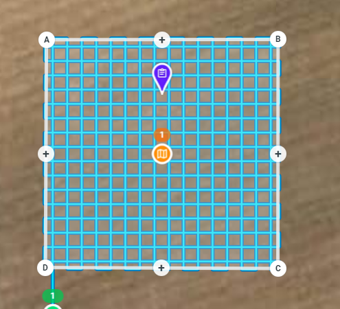
So thats a Test Mission for Dronelink. Is ther any way to get the Distance between Points ? Like A to B, B to C and so on.
<%= block.description %>
<% } %>
Comments
2 comments
Distance measurement tools are on the roadmap. For now the only way to kind of do it is position next to the legend in the bottom left:
Until it's completed in Dronelink, you can export it to Google Earth and do a measurement from there.
1. Export the grid to Google Earth
2. Add a path along each of the sides you want to measure ('Add' from menu, then 'Path' and click on the map at the first point and then click again on the last).
3. The distance will show on the 'Measurements' tab on the dialog that is open on the screen
Please sign in to leave a comment.