Mavic Mini mapping mission - DEM has no real 3d definition.
https://app.dronelink.com/luke-mouat/altona-1/plan/qYFmMBMjDgb2D1zvHafC
Hi all,
with reference to the attached flight mission, I was hoping to get an idea as to why the map came out almost completely flat after stitching together using maps made easy (ortho is fine but not the DEM). I feel it is something in the way that I have set up the mission perhaps with regard to the reference elevation?. There is no 3d definition at all and therefore impossible to use this in a drone - CAD software like virtual surveyor. The images seemed to be stitched together well. 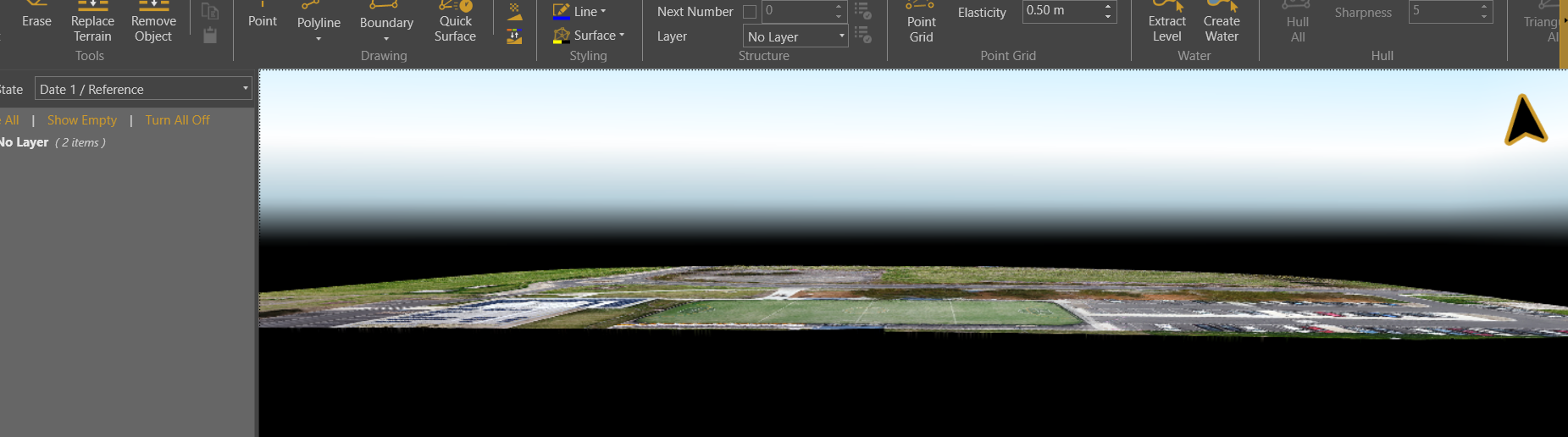
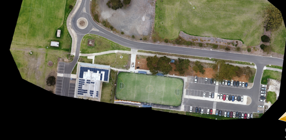
The flight was a grid mission using the mavic mini.
Thanks very much
Regards
Luke
Comments
1 comment
You should probably contact the stitching software vendor.
Please sign in to leave a comment.