Altitude error in Dronelink Preview
Path 5 -3.9m Altitude !! is not correct
The Flight Path view shows a Path at +-60m !
All the Altitude references are set to “Ground level”
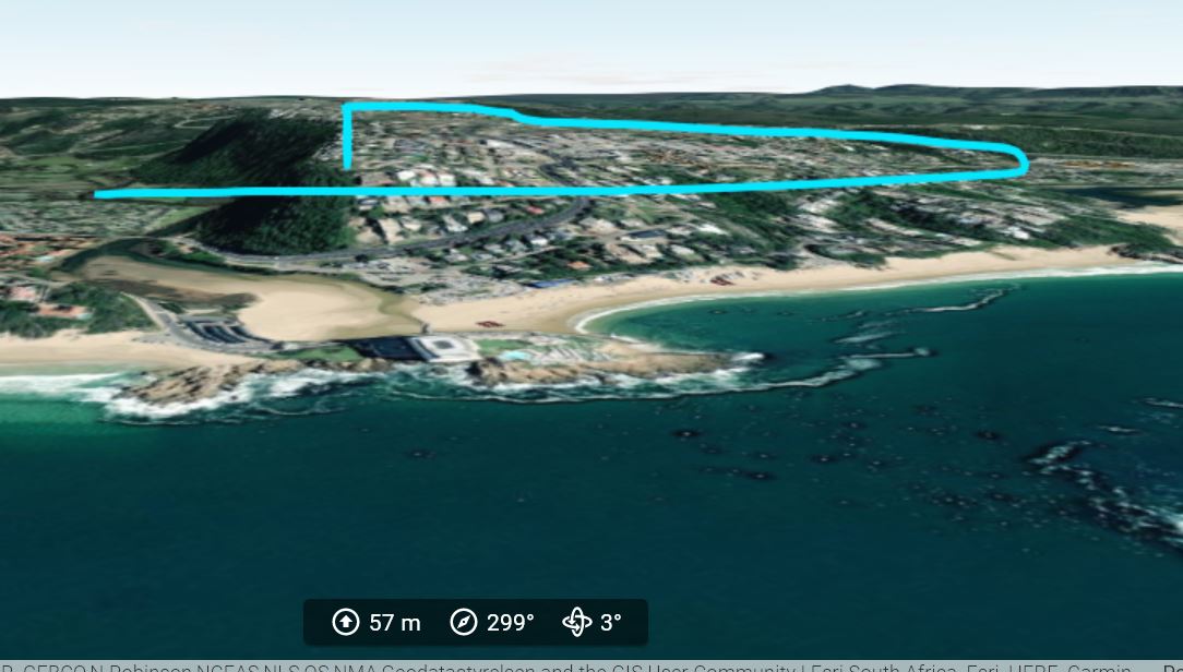
Kmz Google Earth preview seem ok, at the end you see at the details of an hotel roof.
Please comment
In January 2023 I will be in South Africa I hope there will be no errors in my flight plans!
Thanks a lot . . . . i am not a specialist in AGL . . . .
Francis
https://app.dronelink.com/francis-van-kerckhoven/south-africa/plan/csmV2m2zxM9m8aUFPLTC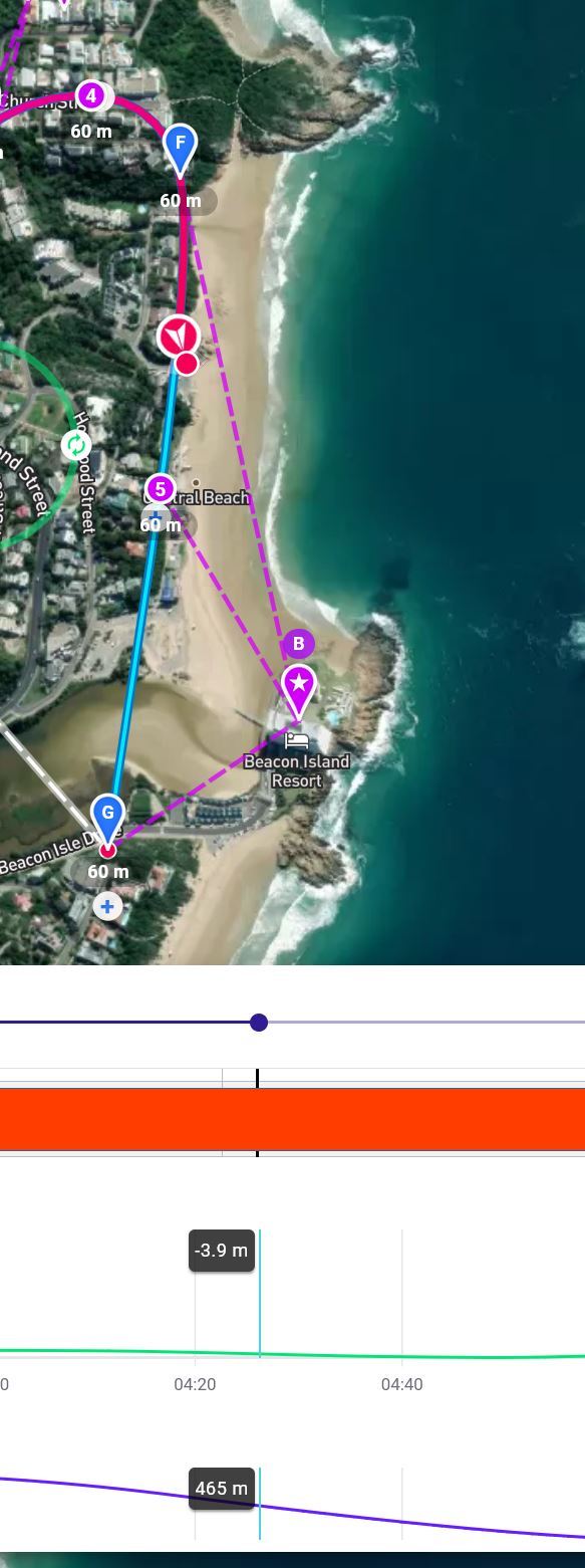
Comments
5 comments
The altitude reported in the mission preview is above takeoff location. It appears that you are taking off on a hill and flying below that altitude.
Thank you for the reply
If I play the Mission Preview in Google Earth it seems really perfect do you see a problem?
If there is no problem this preview make no sense at all.
What will happen if I execute this mission in South Africa?
Will it crash?
Thank for the reply
Francis
KMZ file
https://www.dropbox.com/s/qiyd3wki8ssewe0/dag-12-video-1-fov-agl%285%29.kmz?dl=0
Your comment is correct is this not allowed?
It is allowed. It just shows you what the altitude will be reading when you actually fly it (a negative number because it will be flying below where you took off).
I have learnt again . . . . thank you
I thought if you flew at -3.9m the Drone will fly into the ground so a crash.
I therefore thought to update all the negative altitudes so they all become positive
Is there a course available that explains the Dronelink and Google Earth preview
I still have to learn but without a course this won't work.
Is it possible to avoid a crash via preview?
Thank you in advance
Francis
Please sign in to leave a comment.